
Could be worse, and it was in 1936 ...
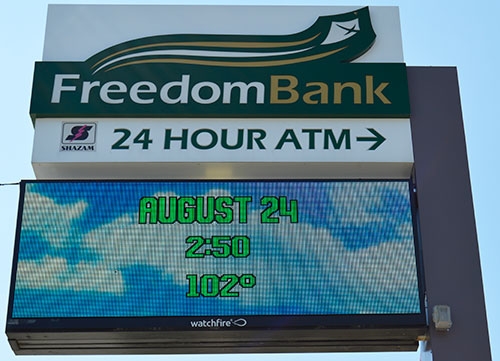
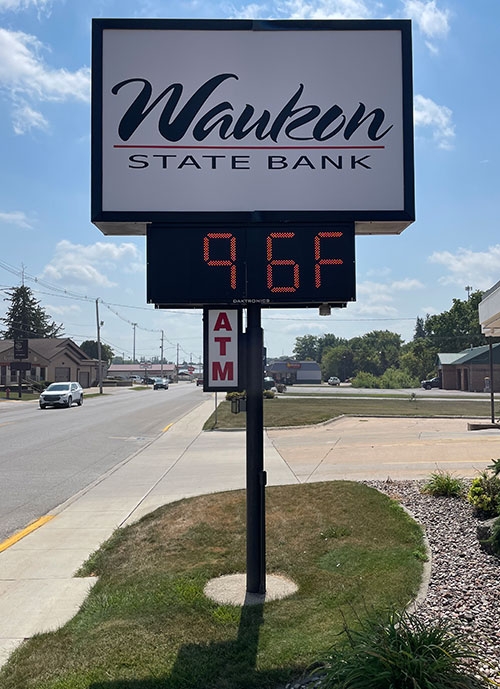
The photos above and at right of local bank clocks/thermometers in Waukon both hover right around the 100-degree mark as the heat wave that gripped the Midwest last week forced temperatures into the triple digits and the heat index well above the century mark when the higher humidity was factored in. The National Weather Service logged temperatures reaching a high of 100 degrees in the area Wednesday, August 23 from around 3-5 p.m., although both banks featured above say their thermometer readings exceeded the century mark by several degrees both Wednesday and Thursday.
According to National Weather Service records, the highest heat index recorded during that stretch of hot weather last week reached 120 degrees at approximately 1:15 p.m. Wednesday, August 23 but started registering at 100 degrees or higher as early as 1:30 p.m. Tuesday, August 22, remaining there for a six-hour period that day, returning for a 17-hour stretch Wednesday, August 23 and then again Thursday, August 24 for another eight hours before finally subsiding below 100 degrees around 6:15 p.m. that Thursday evening. According to historical recordings published in a Natural Hazards Assessment for Allamakee County by the National Weather Service, the warmest air temperature on record for the Waukon area is 106 degrees recorded July 14, 1936 as part of the warmest heat wave stretch on record that saw high temperatures reach 100 degrees or higher for nine days in July of that year, including the five highest temperatures ever recorded of no lower than 104 degrees.